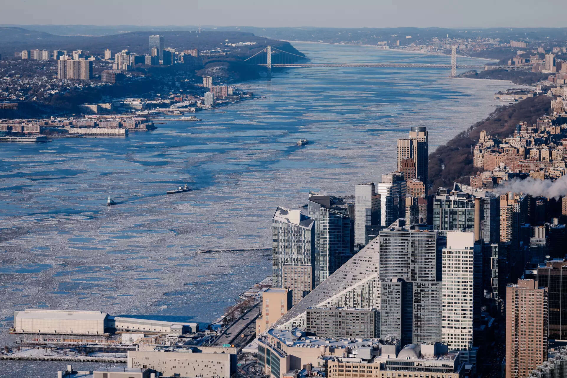
Strategic Analysis: NASA Satellite Imagery Confirms Hudson River Freeze Event Impacting New York Metropolitan Region

A recent high-resolution satellite observation from NASA has documented a significant meteorological event: the partial freezing of the Hudson River as it traverses the New York City metropolitan area. This imagery, captured by advanced Earth-monitoring instruments, provides critical visual data on the extent of the freeze, offering a stark representation of the current cold wave affecting the Northeastern United States. Analysis of the image reveals the river's surface exhibiting extensive ice formations, contrasting sharply with the urban landscape. This event is indicative of sustained sub-freezing temperatures in the region, with potential implications for maritime navigation, riverine ecosystems, and regional infrastructure. The visual evidence serves as a key dataset for climatologists and urban planners assessing the frequency and intensity of such cold-weather phenomena. This intelligence underscores the value of satellite remote sensing in monitoring environmental conditions and providing actionable data on weather-related developments impacting major population centers.


