Mullaperiyar Dam Water Levels Reach Critical 123-Foot Mark, Triggering Regional Security Assessments
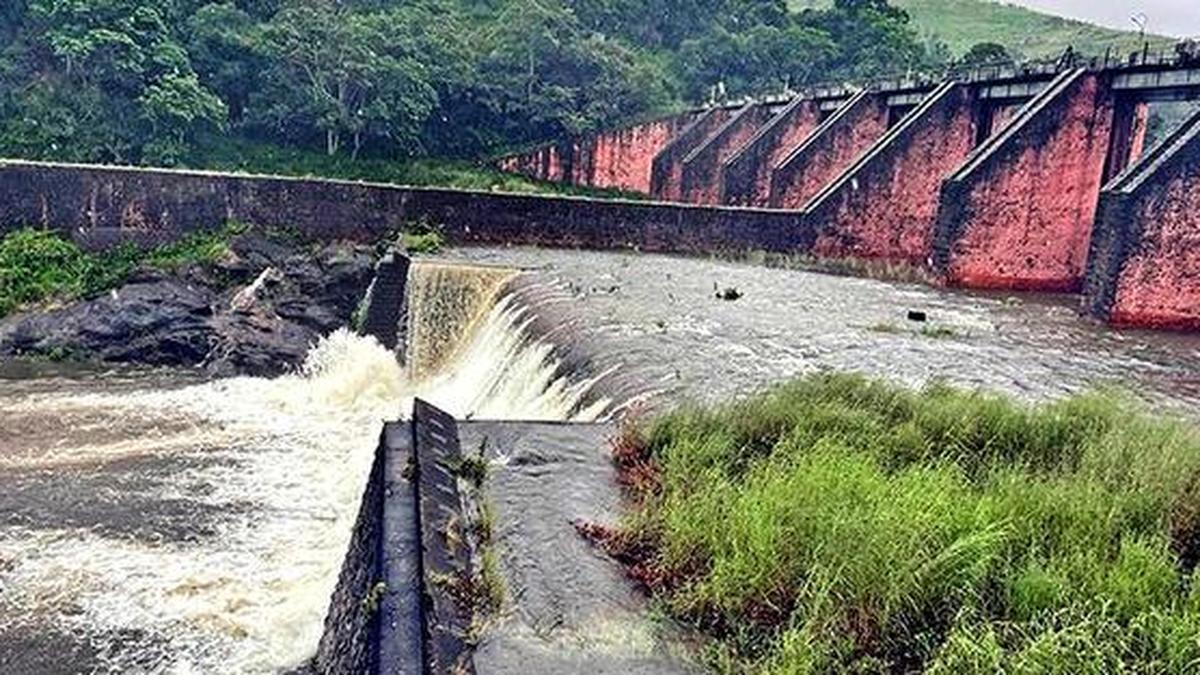
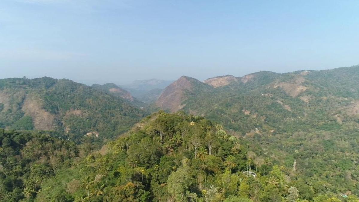
The Mullaperiyar Dam, a critical infrastructure asset in southern India, has reported water levels reaching 123 feet, a threshold that demands immediate analytical attention from regional security and environmental agencies. This elevation places the dam near its maximum permissible storage capacity, raising concerns about structural integrity, downstream safety protocols, and inter-state water management tensions between Kerala and Tamil Nadu. Historical data indicates that levels exceeding 120 feet often precipitate emergency preparedness activations, necessitating coordinated oversight from the National Disaster Management Authority and hydrological experts. The current situation underscores vulnerabilities in aging dam infrastructure across the subcontinent, with implications for agricultural water allocation, power generation schedules, and flood mitigation strategies in the Periyar basin. Intelligence assessments must prioritize real-time monitoring of spillway operations, seismic activity in the Idukki region, and diplomatic communications between state administrations to preempt potential crises. This development highlights the intersection of environmental stewardship and national security, requiring a calibrated response that balances resource utilization with public safety imperatives.